The Power of Exterior Design: How Facades Influence Property Value
- Written by: The Times
First impressions count when it comes to real estate, and nothing quite sets the tone for a property like its exterior design. A building's facade is more than just an aesthetic element; it is a major factor in assessing the property's worth. In addition to improving curb appeal, a well-designed facade exudes durability, quality, and modernity. Buildings that exude sophistication and care appeal to tenants, investors, and buyers alike, which frequently results in higher real estate values. Understanding how exterior design affects property value has become crucial for developers, architects, and homeowners alike as the real estate market becomes more and more competitive.
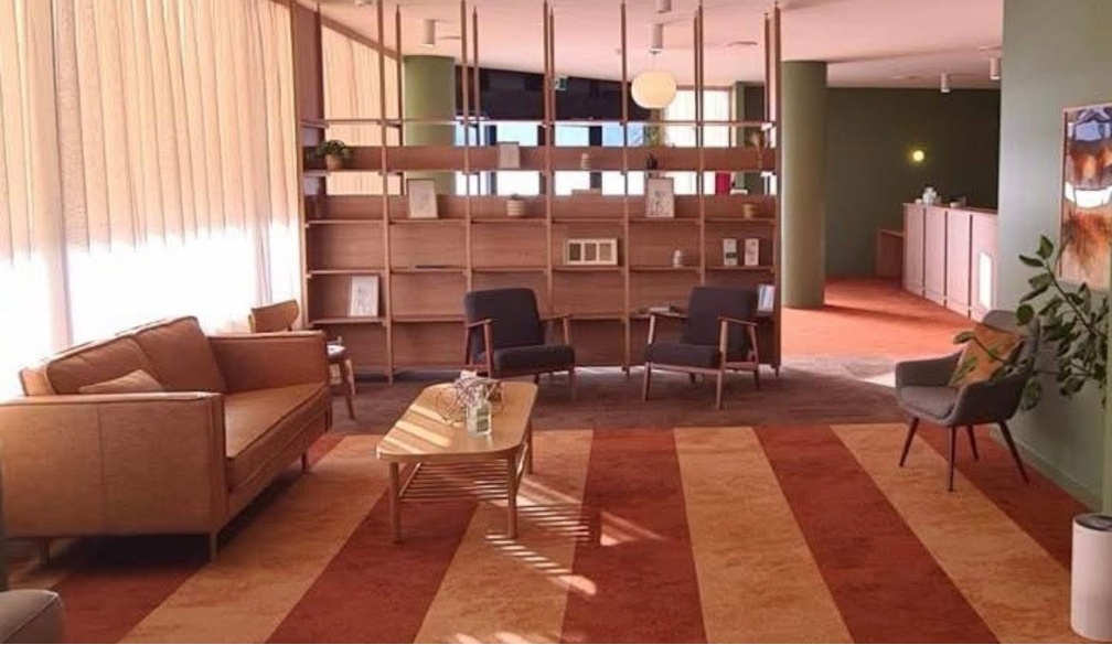
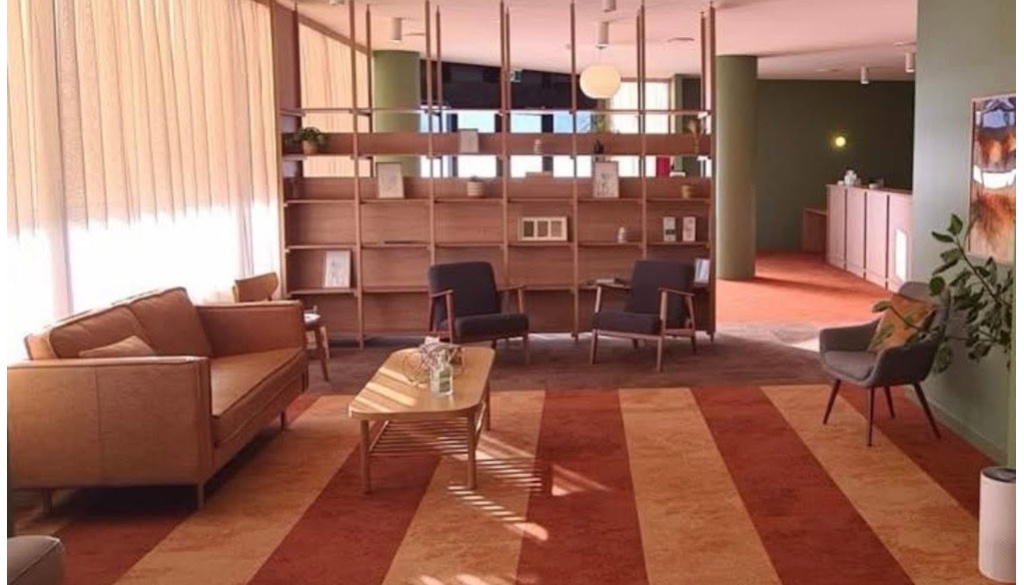
The Effects of Curb Appeal on Psychology
Curb appeal is one of the most direct ways a facade affects a property's value. According to studies, buyers decide on a house within seconds of viewing it. Potential buyers are more inclined to investigate the interior when the exterior is aesthetically pleasing because it elicits a favorable emotional response. Even in commercial real estate, a visually appealing facade can draw attention to a company, draw more customers, and eventually increase potential sales. A well-kept landscape, contemporary design features, and architectural symmetry all help create a welcoming first impression. Large windows, bright entryways, and tasteful color schemes all contribute to the impression of comfort and status. Conversely, homes with dilapidated or badly kept exteriors could come across as neglected, which would undermine buyer confidence and result in lower offers.
Durability and Material Selection
The market value of a building is greatly influenced by the materials used for its facade. In addition to improving appearance, premium materials like brick, stone, glass, and contemporary composites offer long-term savings and durability. Investors and buyers frequently weigh the upkeep costs of various materials, choosing facades that are aesthetically pleasing and require little maintenance. Because of their durability and minimal environmental impact, sustainable materials like recycled wood and eco-friendly concrete are growing in popularity. In addition to improving aesthetics, energy-efficient facades, which include elements like reflective coatings or insulated panels, also lower energy expenses, increasing their appeal to potential buyers.
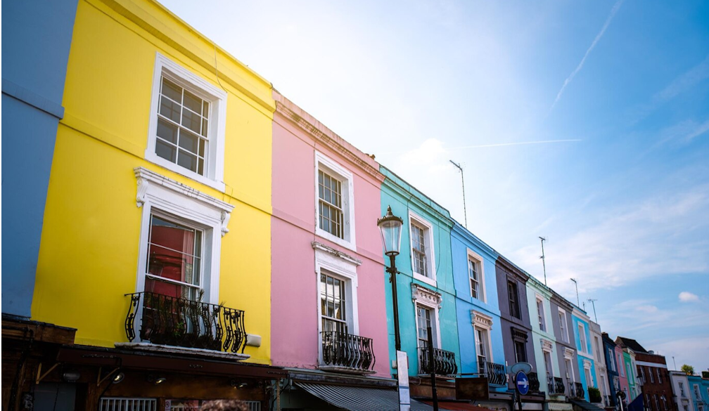
Market Trends and Architectural Style
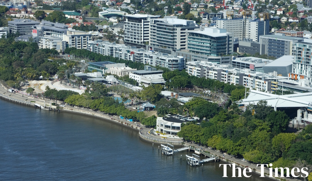
The perceived value of a building is significantly influenced by the architectural style of its facade. Because of their sleek, minimalist aesthetics, modern and contemporary designs frequently appeal to a wide spectrum of consumers. However, if properly cared for and true to their historical character, traditional styles like Victorian or Colonial can also fetch high prices. The most popular styles in a given area are frequently determined by market trends. For example, in urban settings, professionals seeking a chic, low-maintenance home are often drawn to contemporary high-rise structures with glass facades. This is why you need to find professionals in your area, such as those versatile experts in exterior painting from Brisbane who know all about exteriors, so trust these people with your facade as well.
The Function of External Features and Landscaping
The facade of a property is not just the building; landscaping and other external elements have a big impact on the curb appeal and overall value of the property. A property becomes more aesthetically pleasing and inviting when features like paved driveways, ornamental fencing, well-kept gardens, and outdoor lighting are included. A home feels cohesive and elegant when its landscaping matches its architectural style. Compared to properties with bare or messy exteriors, those with mature trees, well-kept hedges, and colorful flower beds frequently fetch higher prices.
The Economic Advantages of External Remodeling
For property owners, making exterior renovation investments can pay off handsomely. According to research, enhancing a building's facade can raise its value by at least 10%. The marketability of a property can be significantly increased by making minor improvements like repainting, replacing outdated windows, or updating entryways. A visually appealing exterior can draw in better-quality tenants for commercial properties, increasing long-term profitability and rental income. It's important to approach exterior renovations strategically to make sure they suit the tastes of the market today. It's important to take into account what appeals to a wider market because excessive customization or personalization may not always result in a return on investment.
Paying attention to exterior details is essential for property owners who want to get the most out of their investment. Improving a property's facade, whether through thoughtful remodeling, material upgrades, or landscaping enhancements, can have a significant positive financial impact. Never undervalue the influence of exterior design in a real estate market that is becoming more and more competitive.