Chalmers and Taylor quizzed on personal flaws during animated treasurers’ debate
- Written by: Michelle Grattan, Professorial Fellow, University of Canberra
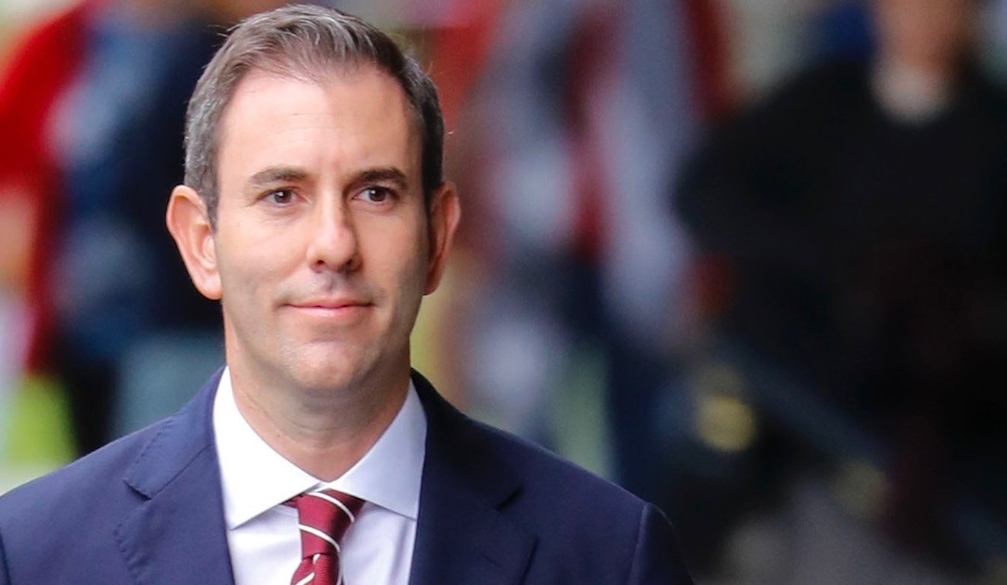
Perhaps the most compelling moment, at least for non-economists, in Wednesday night’s debate between Treasurer Jim Chalmers and his “shadow” Angus Taylor was when each man was forced to respond to what critics see as their personal flaws.
Moderator Ross Greenwood, Sky’s business editor, put to Chalmers that people say “you’ve got a bit of a glass jaw, that you don’t cop criticism well”.
“I think over time I’ve learned to understand that you take the good with the bad,” Chalmers responded, looking taken aback. “I think I’ve learnt over time to focus on the objective observers of the job that I’m doing and I think ultimately the Australian people will judge that rather than the kind of partisan commentators from time to time.”
Taylor was told that “some people suggest that maybe you don’t put the work in”.
“Well, you know, there’s lots of free advice in this game,” Taylor said. “You get it, Jim gets it, we all get it. But I tell you what, I work every single day for those hardworking Australians who work in Jim’s electorate, in my electorate, right around Australia […] I come from a hardworking family.”
In the debate – a livelier encounter than Tuesday’s one between the leaders – the weapons of past promises were liberally deployed. Taylor invoked Labor’s unrealised $275 cut in power bills. Chalmers reached back to Tony Abbott’s pledge of no cuts to health and education, alleging a secret plan for cuts to pay for the Coalition’s nuclear scheme.
The hour was filled with claims, counter claims, disputed figures, and accusations of lies.
In the judgement of University of Canberra economist John Hawkins, Chalmers performed the better of the two.
“He stayed on message, arguing the economy was improving, and the budget was in better shape than what he inherited. Given times of global uncertainty, he argued for a steady hand,” Hawkins said.
“Angus Taylor was critical of economic conditions over the past three years but weak on what needed to be done differently, other than a temporary cut to the fuel tax and lower immigration. He did not effectively rebut Chalmers’ repeated claim that the Coalition stood for higher income tax, lower wages and no ongoing cost of living relief.
"Taylor repeated [Opposition Leader Peter] Dutton’s unconvincing claim that under the Liberals, Australia would be virtually the only country in the world exempted from the Trump tariffs.
"Chalmers thought the global tariff war would reduce Australia’s economic growth but not push us into recession. I thought he may have pointed out that in the global financial crisis Australia was one of the few OECD countries to avoid recession – and he was one of [former treasurer] Wayne Swan’s key advisers at the time, giving him some very relevant experience.”
Business feels neglected
Business, especially big business, is feeling somewhat neglected in this election. On April 20, business groups are joining to call for a commitment to a pro-business agenda.
In letters to Prime Minister Anthony Albanese, Dutton and parliamentarians generally, the groups argue Australia has “one of the least competitive tax systems among comparable nations. We’ve burdened our economic engine room with countless new pieces of regulation and red tape. And the prosperity of all Australians suffers while our productivity lags.”
Who fired up US senator Mark Warner on Australia’s tariff woes?
Australia is bracing for a fresh tariff strike from US President Donald Trump, after he declared this week that “we’re going to be announcing a major tariff on pharmaceuticals”.
Australia exports about $2 billion in pharmaceuticals to the United States, including $1.8 billion of blood products. These exports make up less than 0.3% of our goods exports to the world.
Pharmaceuticals were set aside in last week’s tariff round for later consideration. In that round, Australia was only subject to the 10% general tariff.
The US pharmaceutical industry hates the Australian Pharmaceutical Benefits Scheme, under which the government purchases drugs, leading to prices for Australians being cheaper than in the US. Both sides of politics say they wouldn’t compromise the PBS.
Meanwhile, in Washington, Australia’s cause for an exemption from the 10% tariff has found a friend in Democratic Senator Mark Warner.
In the Senate finance committee on Tuesday (Washington time) Warner quizzed US trade representative Jamieson Greer on why an ally had been badly treated.
Why did Australia get “whacked”, Warner wanted to know, given the US has a trade surplus with it, and a free trade agreement. Besides, “they are an incredibly important national security partner”.
Greer was unmoved. “Despite the agreement, they ban our beef, they ban our pork, they’re getting ready to impose measures on our digital companies.”
So who is Warner, and why is he standing up for us? Bruce Wolpe, senior fellow at the US Studies Centre at the University of Sydney and author of Trump’s Australia, says Warner, a long-time senator with a background in the tech industry, is a “low-key moderate”. He is a member of the Senate Finance Committee, which has jurisdiction over trade, and the Select Committee on Intelligence. Warner is a supporter of AUKUS.
“Someone briefed his staff [on the treatment of Australia] and it paid off,” Wolpe speculates. “Someone saw this was a chance the confront the US trade representative about Australia. They did a great job. It was terrific. It was a direct hit.” No one knows whether the hand of Kevin Rudd might have been involved.
Industry Minister Ed Husic told the ABC: “I reckon I might see if I can get an honorary Order of Australia for senator Warner. Good on him. I like the cut of his jib. It was very defensive of Australia, but we heard the actual administration’s perspective running up the score against us.”