The Coalition prepares to soften Australia’s 2030 climate target, while reaffirming its commitment to the Paris Agreement
- Written by: Tony Wood, Program Director, Energy, Grattan Institute

The Coalition has been forced to reassert its commitment to the Paris climate agreement after its energy spokesman Ted O’Brien appeared to waver[1] on the pledge on Thursday.
O'Brien faced off against Climate Change and Energy Minister Chris Bowen at a debate in Canberra[2], weeks out from a federal election in which energy policy is emerging as a hot-button issue.
Under the landmark Paris deal, Australia has pledged to cut greenhouse gas emissions by 43% by the end of the decade, compared to 2005 levels. O'Brien on Thursday said the Coalition would review the target if it wins office. He deflected a question on whether a Dutton government would remain a signatory to the Paris Agreement, saying the Coalition would “always act in the national interest”.
Within hours of the debate, the Coalition was forced to clarify O'Brien’s comments and reaffirm its commitment[3] to Paris. But the Coalition appears intent on winding back the 2030 target if it is elected next month – a move that would weaken our bipartisan commitment to net zero by 2050 and be against the interests of the global climate.
The 2025 Climate and Energy debate | ABC NEWS.Resetting the 2030 target
The Coalition has long disputed Labor’s claims that the 43% target would be met.
In June last year, Opposition Leader Peter Dutton claimed[4] the Albanese government has “no hope of achieving the targets and there’s no sense signing up to targets you don’t have any prospect of achieving”.
In January this year, Dutton said a Coalition government[5] would remain party to Paris, despite United States President Donald Trump’s move to withdraw his nation from the deal.
On Thursday, O'Brien confirmed a Coalition government would review the 43% target. In doing so, it would consider three factors: Australia’s emissions trajectory, the state of the economy and the Coalition’s suite of policies – including nuclear power and more gas.
O'Brien went on to say:
Labor, the Coalition, nobody in this country will be able to achieve the emission target set by Chris Bowen and Anthony Albanese. The difference between Peter Dutton and Anthony Albanese is that Peter Dutton has been honest and upfront about that.
O’Brien would not rule out withdrawing Australia from the Paris deal, but later released a statement saying the Coalition remained committed to the agreement.
Will Australia meet the 43% target?
During the debate, Bowen claimed Australia is “on track[6]” to meet its emissions-reduction goal. He pointed to analysis by his department[7] released late last year showing emissions are projected to be 42.6% below 2005 levels in 2030.
Australia will have to work hard to meet the target, with our emissions reductions having stalled since 2021. The government’s projection assumes it achieves its target of 82% renewable electricity generation by 2030 – possible but very challenging from about 45% today.
It also depends on two policies to reduce emissions outside electricity, neither of which have yet demonstrated their progress.
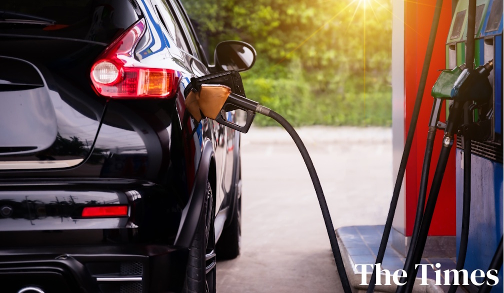
The first is the safeguard mechanism[8], which aims to reduce emissions from heavy industry. It began in mid-2023 but its results are not yet clear. Second is the new vehicle efficiency standard[9], introduced from January this year.

What if Dutton does walk back Australia’s Paris commitment?
Even if a Dutton government remained in the Paris Agreement, walking back on the 43% emissions target is problematic, for a number of reasons.
Most obviously is that the threat of dangerous climate change is real, and growing. The Paris deal aims to keep average global temperatures “well below” 2°C above pre-industrial levels, and ideally, limit warming to no more than 1.5°C.
But according to official data[11], Earth’s monthly global average temperature exceeded 1.5°C above pre-industrial levels for 11 months last year. So meeting the Paris commitment is already looking shaky.
While the Paris Agreement is a legally binding international treaty, there has been much debate as to the real meaning of “legally binding”. Some argue that national commitments to reduce emissions are not legally binding, and can be revised in either direction. While a downward revision is liable to draw criticism, it could be a legally available option under the Paris Agreement[12]. Transgressors don’t get kicked out of the club.
But any downward revision on the targets is a bad look on the global stage. University of Melbourne climate law expert Jacqueline Peel has argued[13] that any moves by a future Coalition government to water down Australia’s 2030 target, or to submit a 2035 target weaker than our current pledges, would:
go against the spirit, if not the letter, of the Paris Agreement, and – in some circumstances – could constitute a breach of those obligations.
Where to now?
The Albanese government chose not to announce a 2035 target before the election. The Opposition says it won’t set a 2035 target until it’s in government.
That means voters will be left in the dark on this important issue as they head to the ballot box.
At the moment, the Coalition appears to be relying on its controversial nuclear power plan to meet the bipartisan goal of net-zero emissions by 2050. But analysts have warned[14] the plan will lead to much more emissions between now and then.
Meanwhile, there is far more work to be done outside the energy sector – in agriculture, transport, industry and more – to meet Australia’s climate commitments.
Australia’s cost of living crisis has garnered much attention during the election campaign so far. There has been very little talk about how Australia’s entire economy will get to net-zero.
That’s a terrible reflection on the state of our politics. Ultimately, unmitigated climate change will be bad for the planet and very bad for Australia[15].
References
- ^ appeared to waver (www.abc.net.au)
- ^ debate in Canberra (npc.org.au)
- ^ reaffirm its commitment (www.theguardian.com)
- ^ claimed (theconversation.com)
- ^ a Coalition government (www.theaustralian.com.au)
- ^ on track (theconversation.com)
- ^ analysis by his department (www.dcceew.gov.au)
- ^ safeguard mechanism (www.dcceew.gov.au)
- ^ new vehicle efficiency standard (www.infrastructure.gov.au)
- ^ AAP Image/Dean Lewins (photos.aap.com.au)
- ^ according to official data (climate.copernicus.eu)
- ^ legally available option under the Paris Agreement (www.weforum.org)
- ^ argued (www.unimelb.edu.au)
- ^ warned (www.theguardian.com)
- ^ very bad for Australia (grattan.edu.au)