
Our new high-resolution climate models are a breakthrough in understanding Australia's future
- Written by: Ralph Trancoso, Adjunct Associate Professor in Climate Change, The University of Queensland
Australia’s climate, already marked by extremes with bushfires, heatwaves, storms and coastal flooding[1], is only set to worsen with the growing effects of climate change[2].
Disasters like the Black Summer bushfires[3] of 2019–20 and the 2022 eastern Australian floods are likely to become more frequent and intense[4].
If carbon emissions continue at the current rate, climate change may make Australia unbearable for future generations[5]. It’s a confronting outlook, and we need better tools to understand future impacts so we can adapt to them.
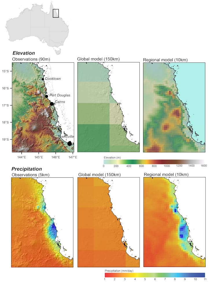
In our new research, published in the journal Earth’s Future[6], we have “downscaled” the latest global climate models to a 10-kilometre resolution across Australia. Having such a high resolution significantly enhances current global projections, with great improvements in projecting temperature, precipitation and extreme weather patterns for Australia.
Our new dataset is very useful. It provides scientists, policymakers and stakeholders with a valuable tool for comprehensively evaluating the potential impacts of climate change across Australia.
Read more: Every Australian will be touched by climate change. So let's start a national conversation about how we'll cope[7]
Why do we need high-resolution climate projections?
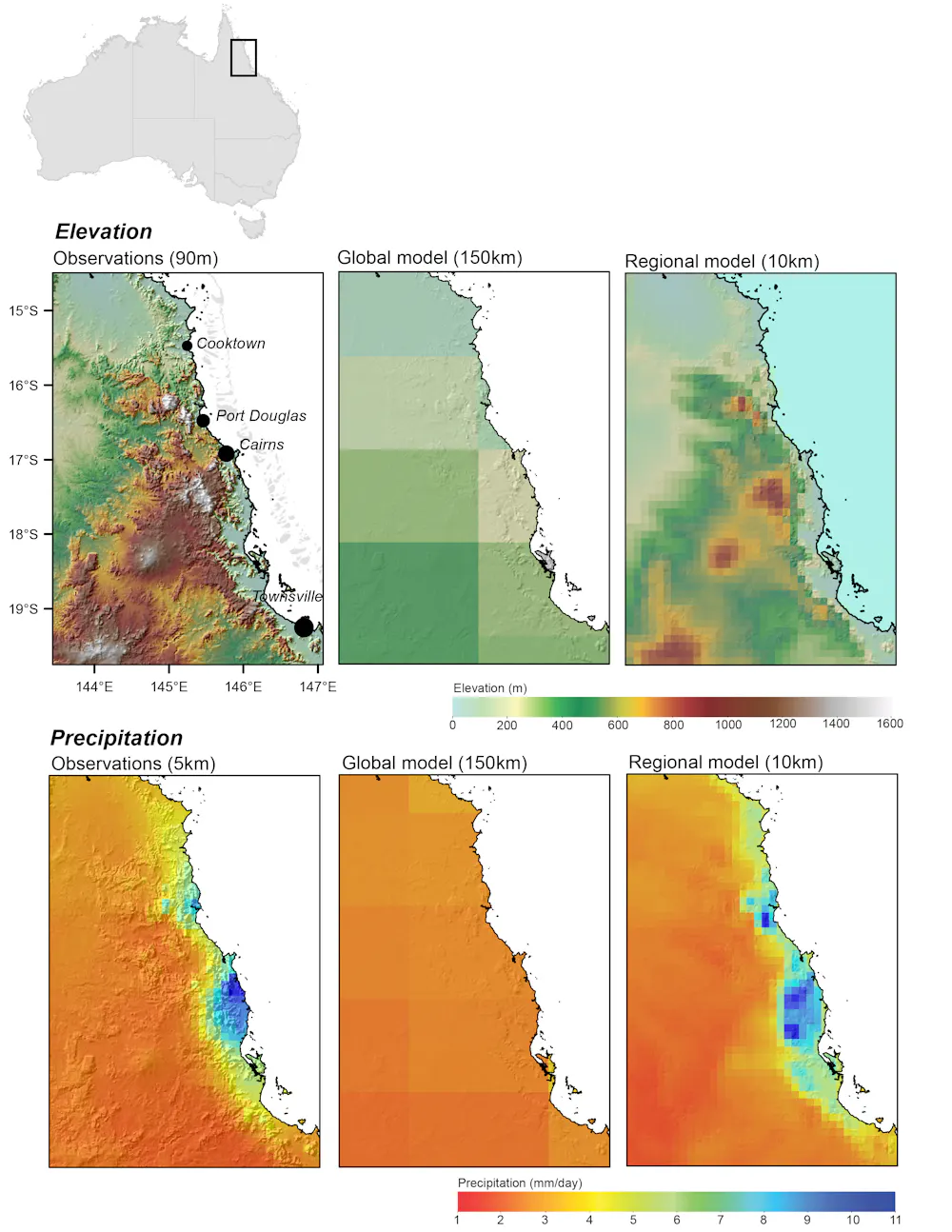
Climate models are key tools for understanding future climate risks. Current global climate models have a coarse resolution of 50–200km. This makes them less suitable for local adaptation[8]. Regional climate models add locally relevant details[9], such as mountainous, coastal and urban regions.
For example, a high-resolution photo of a city lets you zoom in on the small details, such as people and vehicles. Likewise, high-resolution climate projections enable climate scientists to better simulate specific details such as storms and urban heat. They also help to track weather events like tropical cyclones – a meaningful refinement to understand local impacts of climate change.
This is why the Australian Royal Commission has recommended that future natural disaster risks are informed by high-resolution climate projections[10].
High-resolution models also match up much better with real-world local geographical features such as mountains. This is important, as mountains play a role in both temperature and rainfall.
What the new projections show for Australia
To produce high-resolution projections for Australia, we tapped into the most up-to-date climate model dataset[11] that’s coordinated by climate scientists globally. This is known as the Coupled Model Intercomparison Project, or CMIP6 for short.
The full CMIP6 dataset comprises hundreds of model simulations. As climate modelling is computationally expensive, we can’t downscale them all. Instead, we evaluated them to find the models that best represent Australia’s climate but also retain nearly a full range of future climate impacts.
This resulted in a set of 15 downscaled models and three emissions scenarios[12] representing low, intermediate and high emissions trajectories in the future.
Ours is the largest downscaled set of projections produced for Australia to date. The range of emissions scenarios is important for studies evaluating the impacts of climate change.
We evaluated our high-resolution projections by comparing their historical component (that is, the period between 1980 and 2010) to records measured at weather stations around Australia over that time. We examined temperature and precipitation (rain and snow), including their distribution, annual cycles and extremes.
Overall, we found our downscaling produced major improvements in how accurate the projections were. This was especially true for minimum temperature, which is important for looking at the impacts of heatwaves – high night-time temperatures can lead to heat stress[13] and even deaths[14].
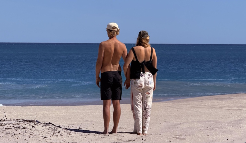
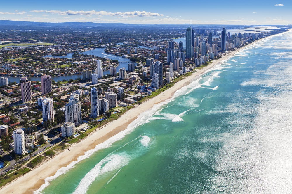 Projections are particularly improved in coastal, urban and mountain regions – where the Australian population is concentrated.
zstock/Shutterstock[15]
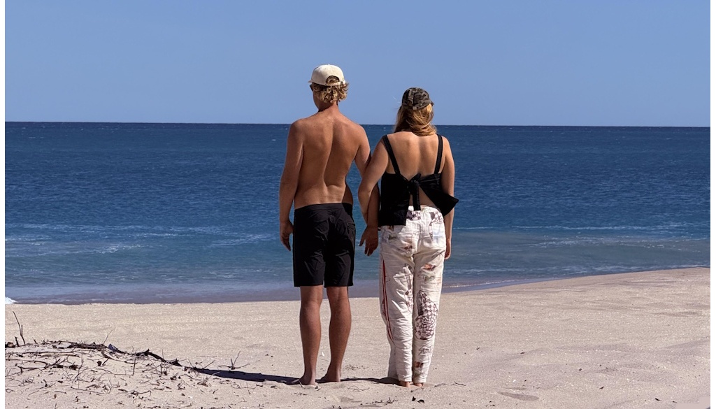
Projections are particularly improved in coastal, urban and mountain regions – where the Australian population is concentrated.
zstock/Shutterstock[15]
We also looked at whether our models accurately represented day-to-day observations – that is, how well they matched up with actual weather recordings. The biggest difference came when looking at extremes (either very high or very low values), with a 142% improvement in representing minimum temperatures and an 87% improvement in representing winter maximum temperature.
Our models also worked well for precipitation. Predicting the number of days with no rain, as well as heavy rain days, is usually tricky for most models. Downscaling improved representation of dry days by 46% and extreme rain by 45%. This means we’ll have more reliable models when examining impacts from events like floods and droughts.
Read more: Faster disaster: climate change fuels 'flash droughts', intense downpours and storms[16]
How will this be useful?
The new projections provide more accurate data across Australia, but particularly in the mountains and densely populated coastal areas. This is important for disaster planning, preparedness and response. For example, in South East Queensland the improvements reached an impressive 150%.
The new data is not only more accurate, but offers a significantly clearer picture of the climatic future for densely populated regions. We can now have future climate information for shires and towns – an important step towards adaptation.
Downscaled climate projections based on the previous global suite of models have been used in Australia to understand future heatwaves[17], severe wind[18], drought[19] and flood risks[20].
Our new high-resolution dataset, based on the latest global models, provides scientists and stakeholders with a solid ground to support adaptation policies, inform communities, and build resilience and preparedness for future climate hazards in Australia.
References
- ^ extremes with bushfires, heatwaves, storms and coastal flooding (www.science.org.au)
- ^ growing effects of climate change (nhess.copernicus.org)
- ^ Black Summer bushfires (theconversation.com)
- ^ more frequent and intense (www.nature.com)
- ^ unbearable for future generations (theconversation.com)
- ^ published in the journal Earth’s Future (doi.org)
- ^ Every Australian will be touched by climate change. So let's start a national conversation about how we'll cope (theconversation.com)
- ^ less suitable for local adaptation (doi.org)
- ^ locally relevant details (wires.onlinelibrary.wiley.com)
- ^ high-resolution climate projections (www.royalcommission.gov.au)
- ^ most up-to-date climate model dataset (www.carbonbrief.org)
- ^ three emissions scenarios (www.carbonbrief.org)
- ^ heat stress (www.nma.gov.au)
- ^ even deaths (pubmed.ncbi.nlm.nih.gov)
- ^ zstock/Shutterstock (www.shutterstock.com)
- ^ Faster disaster: climate change fuels 'flash droughts', intense downpours and storms (theconversation.com)
- ^ future heatwaves (www.sciencedirect.com)
- ^ severe wind (www.disaster.qld.gov.au)
- ^ drought (doi.org)
- ^ flood risks (www.sciencedirect.com)