Hydrographic surveying: what is it & why do we need it?
- Written by: NewsServices.com
An integral aspect of maritime science study is the mapping, analysis, description and measurements of underwater features, which all fall under the category of “hydrographic surveying”. This vocation is directly linked to bathymetric survey, which is mapping of submarine topography, something which hydrographic surveying encompasses.
Furthermore, this service also maps the shoreline’s shapes and features, the characteristics of currents, tides and waves, as well as the water’s chemical and physical properties. These studies are essentially the science of measuring imperative factors that occur underneath the water to assist those working in marine constructions and dredging.
There are numerous reasons why world class hydrographic surveying is essential, with the work being essential to ocean navigation. Measuring oceaning tides for coastal work like seas defence and harbour construction is essential to ensure these works go ahead without any oceaning hindrances.
Furthermore, it is imperative to determine an area’s marine layout to determine the location of sand bars and rocks in regards to land drainage and irrigation systems. These studies are further used to determine places of scouring and silt (a submarine surface’s eating out) and can be enlisted to analyse the water flow and quantity in regards to flood controls, power and water schemes.
The 5 essential needs for completing these studies
To complete such analysis, there are five requirements, which include:
-
Position: The position must be understood in the specific region to locate particular information. Position is obtained through extending or taking control from a previous analysis or can be found using new positions utilising navigation satellites.
-
Orientation: A direction, or “Azimuth”, must be taken to ensure the analysis’ orientation. This can be found through accurately fixing two or more positions in the analysis region. It can also be more traditionally found through observing the Sun or other heavenly body to understand the first position’s bearing in connection to the second position.
-
Scale: The distance between two or more positions must be found to allow the analysis to be represented at a specific scale. This can be found through calculation if two positions are already known or through direct measurement.
-
Shape: Once the scale, Azimuth and position are known, additional positions will allow for the analysis’s detail to be fixed.
-
Detail: From the pre-established framework, the analysis can then be comprehensively undertaken, gathering all necessary data. This includes a list of important details that can be found in this analysis:
-
* The coastline’s position (Low Water & High Water Mark);
-
* The seafloor’s nature at regular intervals over the whole water region;
-
* The positions of tide rips, fish stakes, breakers & more;
-
* Tidal stream measurements;
-
* Tidal observations;
-
* Photographic views;
-
* The navigation marks’ positions;
-
* Sailing directions checked and altered details of wrecks located, swept & more;
-
* Light characteristics.
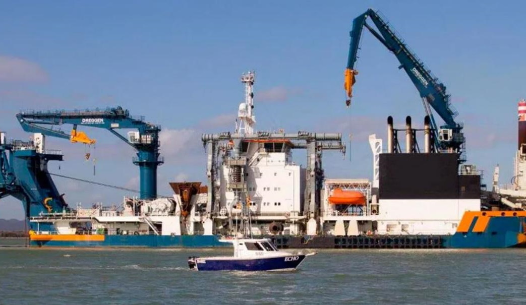
Professionals in this industry have a specialised knowledge in how to conduct this analysis, interpret the data, map out the data and turn the data into a product which can be easily conveyed to clients. They will typically have a fleet of vessels to determine a water body’s geography, including everything from shoreline obstacles, tide measurements, depth and submarine topography.
They will deploy a small boat with the scanning technology required to complete this essential service. These advanced systems will help them capture the water body’s bathymetry with an extremely high level of detail. Once the information has been recorded, they will process in a manner that allows for easily-navigable and viewable presentations, thus completing the process of hydrographic surveying for their clients.